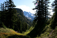
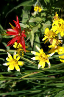
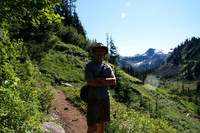
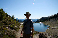
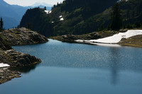
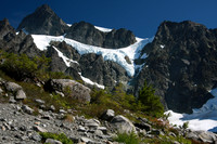
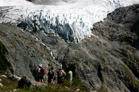
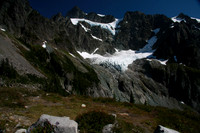
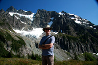
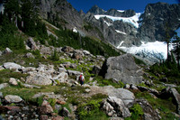
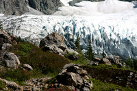
Distance: 15km (back and forth) Time: 6.5 hours (11:30 am to 6:00pm) Elevation gain: -800 ft from beginning elevation of 4700 to Swift Creek, +900 to saddle, -200 to Lake Ann, +400 to glacier. Low point: 3900 feet High point: 5200 feet (at glacier) Trail: Lake Ann #600